|
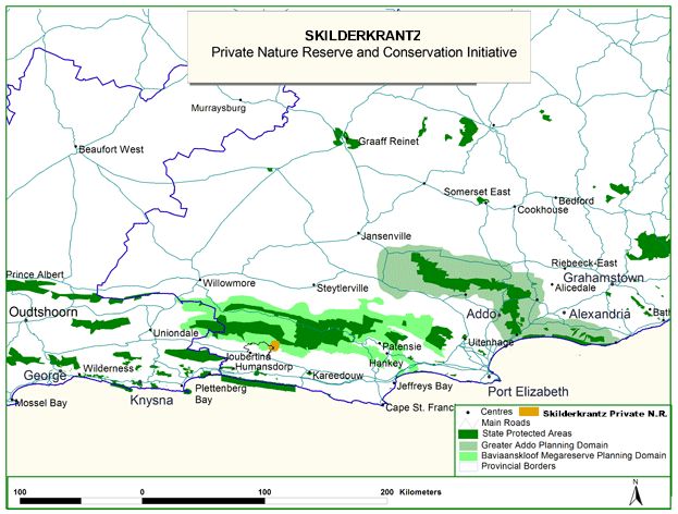
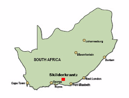
Map
of Local Protected Areas - Click here to enlarge.
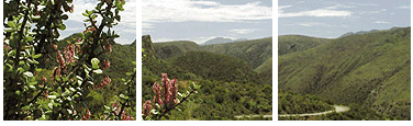
Location : Skilderkrantz (7700 ha) is situated in the foothills of the Kouga Mountains backing on the Baviaanskloof Megareserve
and forming part of its planning domain. The nearest town is Joubertina and the two nearest larger towns with airports are Port Elizabeth
(180km) and George (205km) Skilderkrantz is accessed by approximately 20km of gravel road off route 62 in the Langkloof valley.
|